#Understanding Road Planning
27 messages · Page 1 of 1 (latest)
There are a number of reasons for the angles:
1.) Most trips want to go through or near the commercial/business center of the city, and the angles make that a shorter trip. You may gain more insight into the advantages of the angles in Part 6 of this series where I discuss zoning layout…which city planners call “land use” in real life:
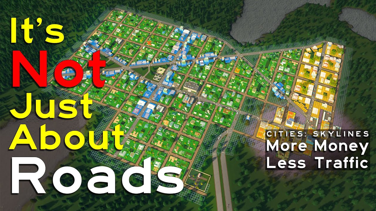
Zoning and land use may be the real cause of your traffic problems in Cities: Skylines! Learn how to fix your zoning pattern and how to use the game's built-in tools to improve traffic flow in this episode of MORE MONEY LESS TRAFFIC!
Would you like to play Cities: Skylines without running out of money? Are you frustrated because your cities get...
A real life example of a city grid that added angles is the city of Chicago, Illinois. It’s actually quite a story there too developing The Plan of Chicago, but they proposed the angled roads to Chicago’s grid to streamline transportation through and around the city center. A lot of their plan was not implemented, but diagonals do relieve some amount of traffic pressure from the grid.
2.) A second major reason for the angled streets is pure geography—with seven lakes on this map all relatively close together, the angled streets followed what I thought to be natural paths that allowed direct movement from the center of the city to land beyond the lakes. I thought it made the most sense to provide direct streets to go along with the grid just because it would hopefully make things flow more smoothly in the future.
3.) I also wanted these angled streets to add visual interest to the city. There’s nothing really wrong with a perfect grid…but it does become difficult to create a sense of place when all you have are squares and rectangles. The triangles add a lot of really interesting corners that make the city just look more interesting.
Another aspect here is that in Settelaghi it’s possible to stand in one place and see several streets stretching into the distance. It lets you see so much more of the city moving and working and functioning.
4.) Oh…and one more thing…I created this city plan with an early to mid 19th Century mindset—in other words this city is NOT created initially with any consideration to cars. It really doesn’t even consider rail to be honest. The assumption in my story of the city is that the whole center was planned and platted, sold off and developed by the time railroads became a thing. When railroads did become a thing, the plan area was just out of the way enough that the railroad could be shoehorned in without wrecking the layout.
But the city plan for Settelaghi considers walking—because that was the chief mode of transportation before railroads and automobiles. Angled streets make walking a whole lot shorter if one must get across town. It works for cars too…but often what works for cars can be bad for other modes…which we’ll talk about more as the series progresses. I’m working on new episodes now.
Equally as interesting in my mind to the original city plan is how the city develops beyond it—does it continue to follow the grid? Many cities developed within the United States Public Lands Survey System definitely did, at least at first. A lot of this depended on the geography of the area. In Settelaghi all those lakes present obstacles to sticking to the pattern.
I like to, because they are natural convergence points for people in the city…so civic buildings and parks make a lot of sense.
if that's 25 tiles, then I just feel sorry for the cims having to travel so far to get to the shops
Well there isn’t much out there on this that I know of that is better than this video:
Especially starting at 7:09. This is the kind of video that I wish I’d had back when I started playing. And I still haven’t seen anything else that explains this.
Zoning and land use may be the real cause of your traffic problems in Cities: Skylines! Learn how to fix your zoning pattern and how to use the game's built-in tools to improve traffic flow in this episode of MORE MONEY LESS TRAFFIC!
Would you like to play Cities: Skylines without running out of money? Are you frustrated because your cities get...
If you have more questions, hit me up. I want to hit on this more to make sure everyone understands it.
If you end up with too many happy accidents, you can always bulldoze the devil out of it
If that’s what you want to do, go for it. Zoning layout is far more critical than road layout
My point is that pretty much any road layout can work…but a bad zoning layout will for sure kill any city. Everyone focuses on the road layout when troubleshooting traffic…when a bad zoning layout is usually the bigger problem.
You can do a lot more than you do think with 2-lane roads. And you can do literally anything without any highways. It seriously is 95% zoning and maybe 5% road layout.
Maybe go watch my original More Money Less Traffic series, especially from Part 3 onward. I build a huge city adding zero highway—I just use what’s there already—and I show the zoning pattern you want to follow. I tackle both road layout and city layout, although the road layout is 100% grid and very basic.
You don’t need to do anything that fancy to make industrial work—just always do in long thin stretches alongside a highway or railroad on the outskirts of town with multiple interchanges/rail terminals and have connections into the commercial core like I showed in that video and things will go fine for you. You don’t have to overthink it. It will work.
There’s no right or wrong answer here. Compare Cleveland, Ohio with Rochester, New York..,both have rivers, but one is way closer to the big waterfront. Chicago yet again has a totally different development pattern from Cleveland with inland industry instead of an industrial lakefront.
New York City was all piers around Manhattan with industry on the waterfront. A lot of that was replaced by railroads, which was replaced by highways, and some of that has been replaced with surface streets and new development.
London (UK) developed along the riverfront and has replaced much of its industry with museums and housing. L
Los Angeles developed several miles inland from the Pacific Ocean and maybe a mile or so from the Los Angeles River. Its port is many miles away from its commercial center. Los Angeles was mostly developed in the late late 19th and early 20th Century around streetcars, and it has several large commercial centers besides its Downtown.
Most cities developed from their waterfront, but many also developed from railroad lines. Old World cities (eastern hemisphere) developed usually near water, but many were on hills for better defense against invasion.
There’s no right or wrong way…just experiment with different ideas and see what happens.
You don’t have to plan every detail out in the beginning. Nobody had cars or trains when they started building before the Industrial Revolution in the mid-19th Century. Lots of cities built canals…but trains changed everything, streetcars changed it some more, and then cars changed everything all over again.
Go with what works for you, and maybe find a real life city that can maybe give you some ideas on how it might have developed. The world is rich with examples.
Lol I would just start with a center and start building. I only need one outside connection…no highways…and then build what I need when I need it.